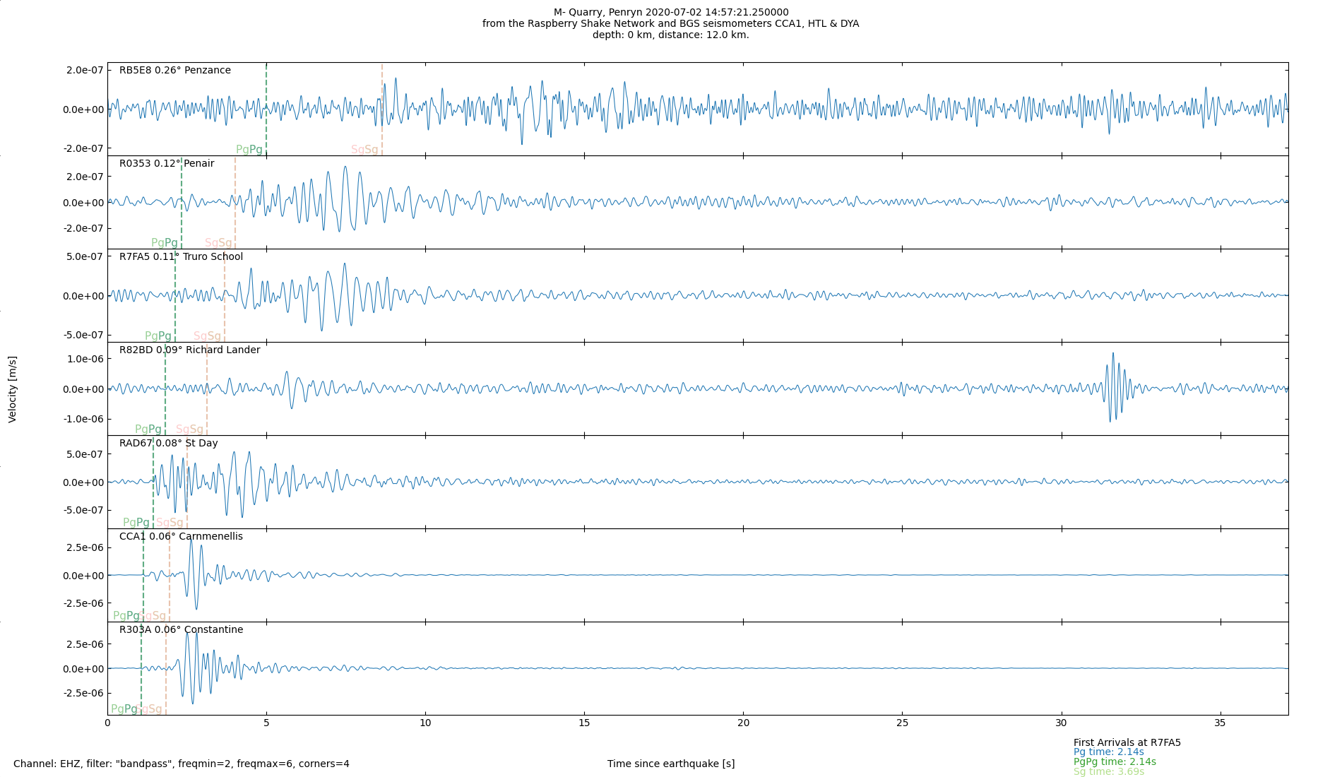
Possible quarry blast Penryn
02/07/2020 14:57:21 Lat: 50.167874 N Lon: 5.139808 W Depth: 0 km
Daily Plots Data: unverified overview map Home page
Data on this page is unverified, so should be treated with a large degree of scepticism and not used for any purpose except taking a mild interest in local anthropogenic seismic activity.
Data processing mostly using ObsPy and matplotlib in Python. Interactive maps created using Folium. Seismic data mostly downloaded from Raspberry Shake, traces from seismometers CCA1, HTL and DYA contain British Geological Survey materials (c) UKRI 2021 Open Government License